
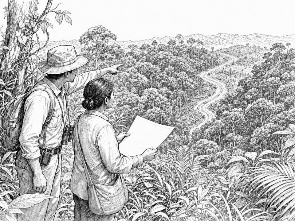
WWF Forest Foresight
AI predicts where deforestation is likely to occur, allowing conservationists to act earlier.
About
WWF's Forest Foresight combines satellite imagery with data on roads, elevation, and past deforestation. The model produces risk maps of areas where forest loss is more likely in the coming period. Local teams can use these warnings to direct monitoring or protection. A prediction is not proof of illegal logging, and the actual impact depends on local follow-up.
AI factor
Traditional satellite monitoring often shows where forest has already been lost. A predictive model looks for patterns that point to future risk; local organizations add context and decide where inspection or engagement is needed.
Sources
Inspiration sourced from AI For Good. Not an Arnaldus customer case.