
Waymap
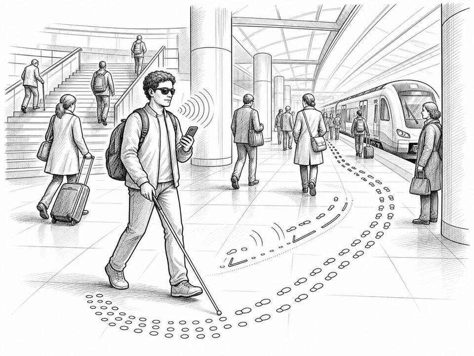
A free navigation app that guides blind and visually impaired travelers through stations and public transport with precise spoken directions.
About
Waymap combines digital maps with motion sensors in a regular smartphone, enabling step-by-step directions even underground and without GPS, Wi-Fi, or beacons. Since February 2025, Waymap has been available in all 98 stations and at more than 11,000 bus stops in the Washington metro area. The service is designed for people with visual impairments but can also help other travelers.
AI factor
AI algorithms process step, direction, and movement data from the phone's sensors and continuously match it to the map, keeping positioning reliable indoors where GPS fails.
Sources
Inspiration sourced from AI For Good. Not an Arnaldus customer case.