
Satelligence
A Utrecht-based service that uses satellite imagery and AI to make deforestation and risks in supply chains visible.
About
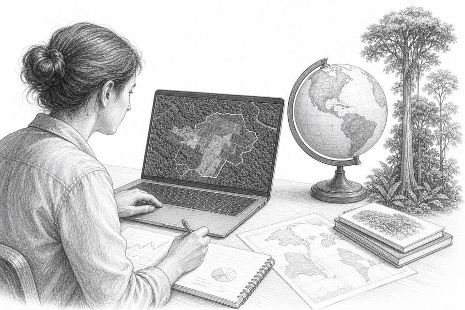
Satelligence helps companies and financiers see where raw materials come from and where deforestation, fires, or other risks related to nature and human rights occur. The platform combines satellite imagery, supply chain data, AI, and human analysis. This makes claims about deforestation-free purchasing more verifiable and enables problems to be investigated earlier. The impact lies with the user of the information: the technology makes risks visible but does not prevent deforestation on its own.
AI factor
AI detects changes in land use and overlays them with data on raw material chains and risks.
Sources
Inspiration sourced from AI For Good. Not an Arnaldus customer case.