
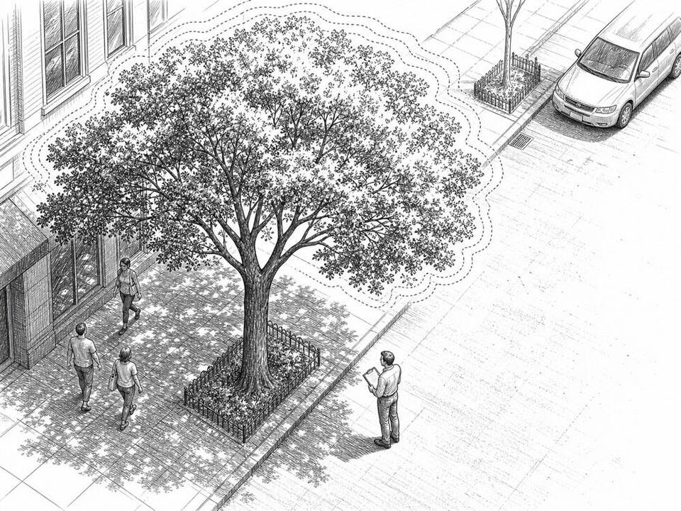
Google Tree Canopy
AI maps tree canopy from aerial imagery so cities can target greening in neighborhoods with little shade.
About
Google Tree Canopy uses aerial imagery and image recognition to estimate what share of a city is covered by tree canopy. Cities can combine this map with information on heat and vulnerable residents. Austin uses the insights to find areas where extra trees can make a real difference. Local planners and residents decide where planting is actually feasible and desirable.
AI factor
Manually drawing every tree canopy in a city takes a lot of time. Image recognition produces a consistent first map and shows differences between neighborhoods; city ecologists verify the data and translate it into policy.
Sources
Inspiration sourced from AI For Good. Not an Arnaldus customer case.