
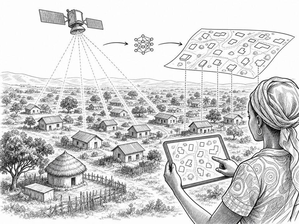
Google Open Buildings
AI extracts building outlines from satellite imagery and makes them available as an open map layer for regions lacking good base maps.
About
Open Buildings contains building outlines detected through image recognition across large parts of Africa, Asia, and Latin America. Aid organizations, planners, and researchers can use the data free of charge for population estimates, infrastructure planning, and crisis response. UNHCR, for example, used the map layer as a sampling frame for research on forced displacement in Pakistan. The detections contain uncertainties and say nothing about inhabitants or the function of a building.
AI factor
Manually drawing buildings in large, poorly mapped areas takes years of work. Image recognition produces a first map at continental scale; local data and field verification are needed to use it for concrete decisions.
Sources
Inspiration sourced from AI For Good. Not an Arnaldus customer case.