
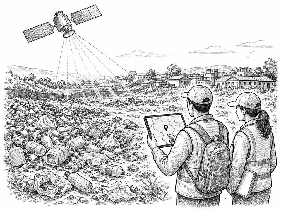
Global Plastic Watch
AI scans satellite images of plastic waste sites and publishes the locations found in an open world map.
About
Global Plastic Watch uses Sentinel-2 satellite imagery and machine learning to locate areas where large amounts of plastic waste lie on land. Trained reviewers verify each detection with additional imagery before it appears on the map. The data and code are openly available and can help governments and researchers investigate possible leakage into rivers and the sea. The map does not automatically distinguish between legal, well-managed, and illegal sites.
AI factor
Manually scanning global satellite imagery is infeasible. A model selects areas that resemble waste sites; human review limits errors, and local inspection must determine what is actually happening.
Sources
Inspiration sourced from AI For Good. Not an Arnaldus customer case.