
Global Forest Watch Alerts
Satellite systems detect forest disturbance almost immediately; a deep-learning model helps identify in the tropics whether agriculture, mining, fire, or flooding is the cause.
About
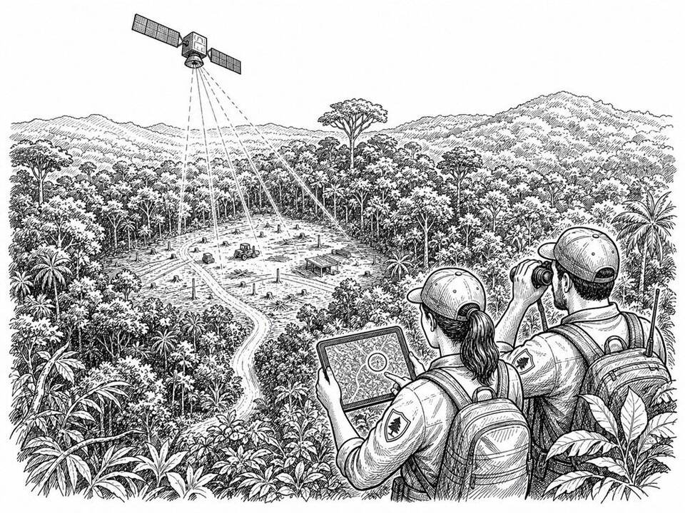
Global Forest Watch combines optical and radar satellite systems to quickly issue alerts about the loss of forests and other vegetation. For the Amazon, the Congo Basin, and Indonesia, a deep-learning model classifies disturbances at 10-meter resolution into ten human and natural causes. This allows forest managers, local communities, and enforcers to more selectively choose which alerts to investigate. An independent study across 22 tropical countries found that subscriptions to an earlier generation of GLAD alerts in Africa were associated with an 18 percent lower probability of deforestation; no comparable effect was found in South America or Asia. That research validated the alerts, not the new AI-based cause classification.
AI factor
A model compares radar and optical images after a disturbance and recognizes patterns consistent with agriculture, mining, roads, logging, fire, or natural hazards. Accuracy varies by region and some causes resemble one another, so field verification remains necessary before enforcement.
Sources
Inspiration sourced from AI For Good. Not an Arnaldus customer case.