
Global Fishing Watch
A public platform that converts satellite and ship data with machine learning into a world map of human activity at sea.
About
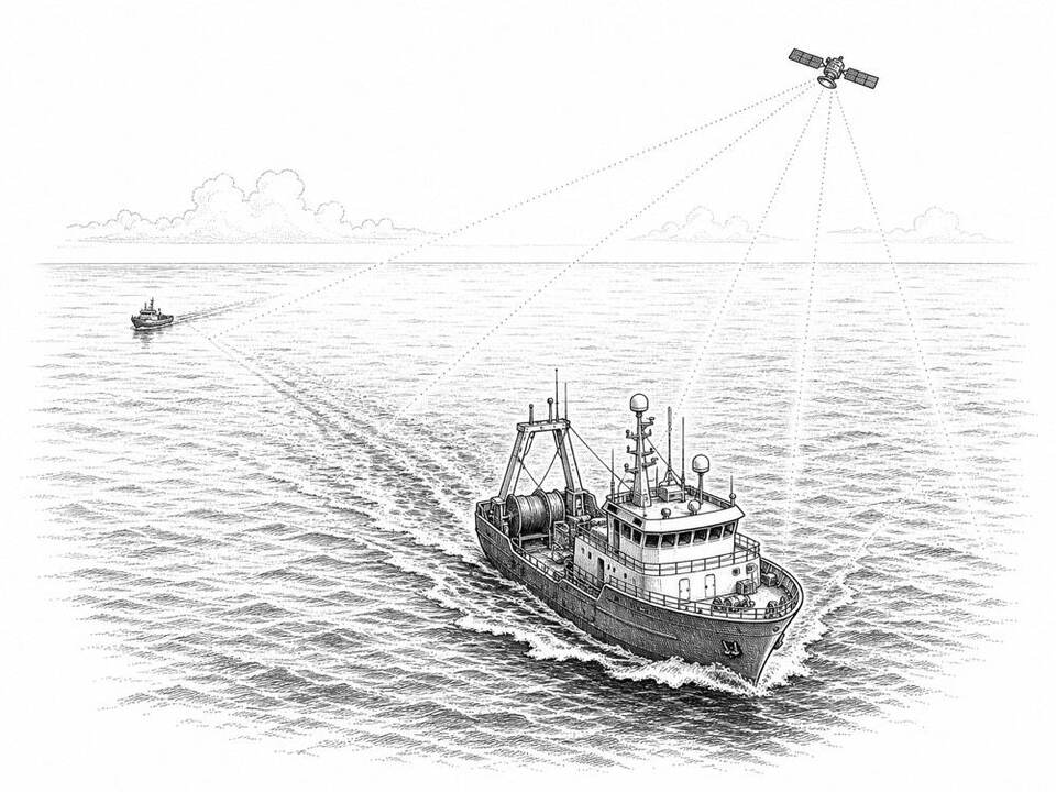
Global Fishing Watch analyzes AIS signals, radar and optical satellite imagery to make ships and likely fishing activity visible. Governments, researchers and journalists can use it to investigate areas that would otherwise be barely monitorable. The map provides leads; nationality, permits and local regulations must be checked separately before anything can be called illegal fishing.
AI factor
Models process billions of position points and images to classify vessels and behavior patterns. People combine these signals with permits, regulations and field information to decide whether investigation or enforcement is needed.
Sources
Inspiration sourced from AI For Good. Not an Arnaldus customer case.