
OnderwijsInclusie
Giga
A UNICEF and ITU initiative that maps schools and helps connect them to the internet.
About
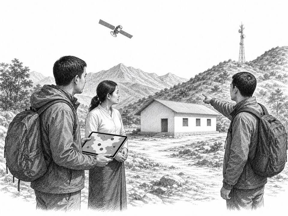
Many countries lack complete location data for their schools. Giga uses satellite imagery and machine learning to identify probable school buildings, then combines this map with information on internet connections. In Colombia, thousands of unregistered schools were found this way; governments and market parties must then organize and pay for the connection.
AI factor
Local governments and UNICEF verify locations and set priorities. The model scans large areas for buildings that resemble schools, helping to plan fieldwork and investments more precisely.
Sources
Inspiration sourced from AI For Good. Not an Arnaldus customer case.