
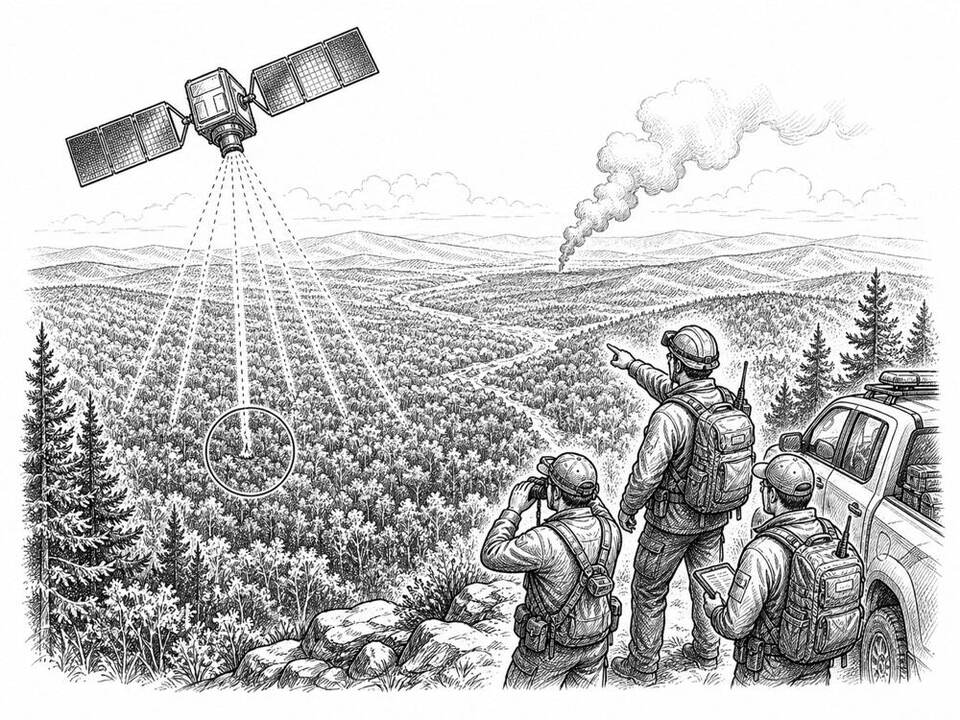
FireSat
A satellite network using AI aims to find small wildfires faster and track their development more often.
About
FireSat is an initiative by Earth Fire Alliance, Google Research, and partners. The first three operational satellites reached orbit in July 2026. Models compare new images with earlier captures and weather information to flag possible ignition sites. The network is still being built: faster detection is the goal, but large gains in response time and damage reduction still need to be demonstrated.
AI factor
A person cannot continuously compare new satellite images with all earlier captures and conditions. AI selects possible changes and ignition sites; fire services and analysts review the signal and decide on deployment.
Sources
Inspiration sourced from AI For Good. Not an Arnaldus customer case.