
eBird Status and Trends
Machine learning converts citizen scientist bird observations into up-to-date maps of species distribution, migration, and population trends for conservationists.
About
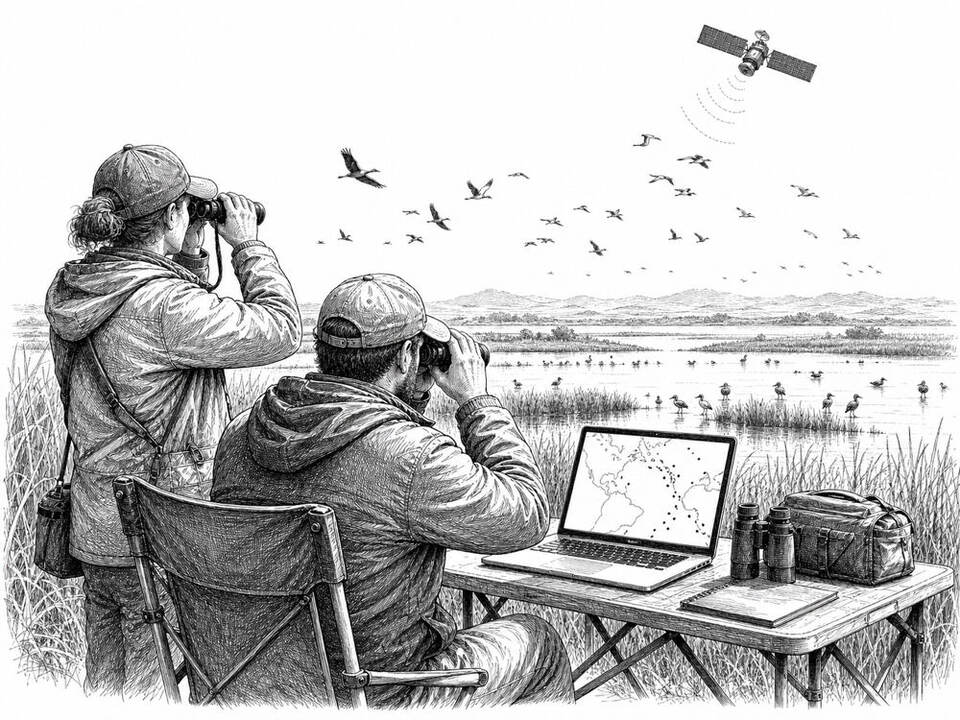
eBird Status and Trends combines volunteer bird lists with satellite and environmental data from NASA, NOAA, and USGS. The models estimate weekly where species occur and in what numbers, and show over longer periods whether populations are increasing or declining. A peer-reviewed study describes six practical cases in which North American conservation organizations use this data to prioritize species and areas, identify migration periods, and track local declines. These are model estimates: in regions with few or unevenly distributed observations, additional field research remains necessary.
AI factor
Individual observations vary greatly in location, timing, search effort, and the observer's experience. Statistical models and machine learning connect these observations with landscape and seasonal data to produce usable maps and trends; ecologists then determine which conservation action is appropriate.
Sources
Inspiration sourced from AI For Good. Not an Arnaldus customer case.