
Climate TRACE
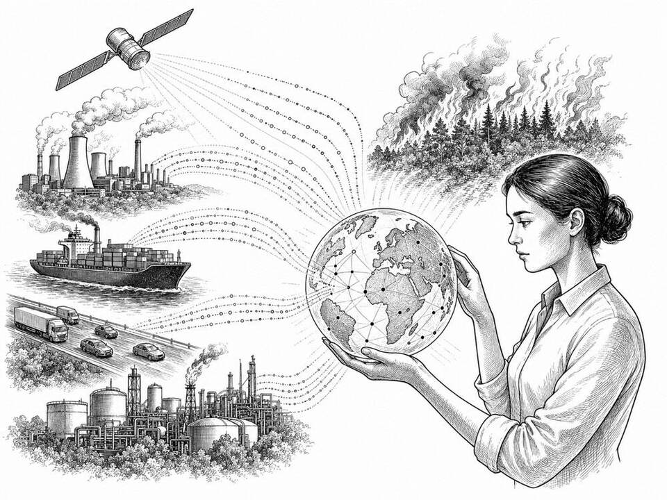
An open database uses satellite imagery and machine learning to make emissions visible down to the level of individual sources.
About
Climate TRACE combines satellite observations, sensor data and public datasets to estimate greenhouse gas emissions by country, sector and many individual installations. For different types of sources, the coalition uses different methods, including machine learning. The data can be downloaded free of charge and is available via an API. They remain estimates with uncertainty margins; they supplement official reporting and do not replace on-site measurements.
AI factor
No single team can continuously monitor all power plants, ships, oil fields and other emission sources. Models recognize activity and emission signals in large data streams, after which sector researchers check the methods and results.
Sources
Inspiration sourced from AI For Good. Not an Arnaldus customer case.