
510 Automatic Damage Assessment
AI from the Dutch Red Cross that compares satellite images to map building damage after disasters faster.
About
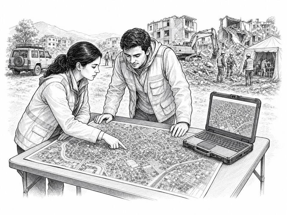
Automatic Damage Assessment compares satellite images taken before and after a disaster and flags likely damaged buildings. The 510 team used the method after the earthquakes in Turkey and Syria to give aid organizations a first overview. Cloud cover can delay the analysis, and field information remains necessary. Research using images from thirteen disasters showed that the model can be used without new labeled examples, though performance varied by disaster.
AI factor
The model processes an area with thousands of buildings faster than a team reviewing each image by hand. Analysts verify the result and combine it with information from field responders.
Sources
Inspiration sourced from AI For Good. Not an Arnaldus customer case.